
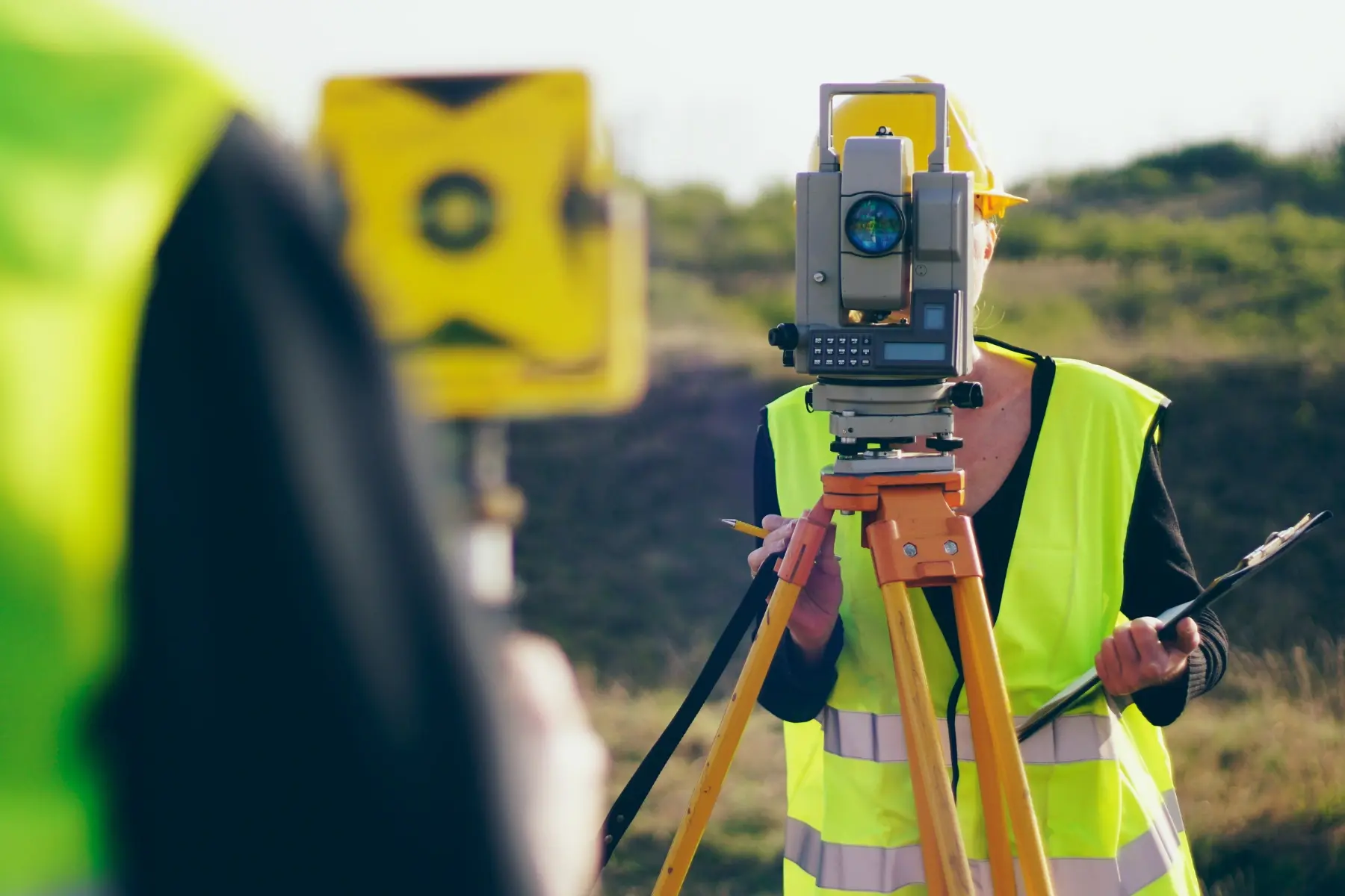
Surveying

Precise Surveying for Property,
Development & Construction

Accurate surveying is fundamental to successful property development, subdivision, infrastructure and construction projects. At GDC Group, our surveying services provide the reliable spatial information and technical expertise needed to support projects from initial site investigation through to design, consenting and construction.

Surveying

Our Services

Our Surveying Services

GDC Group provides surveying services across property, land development and construction, including:

  • Cadastral surveying
  • Boundary identification and definition
  • Topographical and detail surveys
  • Land development surveying
  • Subdivision surveying
  • Construction set-out
  • As-built surveys
  • Level and contour surveys
  • Site feature surveys
  • Engineering surveys
  • Building set-out
  • Earthworks and volume calculations
  • Monitoring and deformation surveys
  • Easement and right-of-way surveys
  • Property and development surveys
  • Survey information for resource and building consents
  • Survey data for engineering and architectural design

Multidisciplinary Expertise

Engineering, surveying and planning expertise within one coordinated team.

Practical Solutions

Practical, cost-effective advice tailored to each project and site.

Integrated Approach

Disciplines coordinated early to reduce conflicts and improve outcomes.

Built for New Zealand

Aligned with New Zealand standards, conditions and communities.

About this service

Surveying

We work closely with architects, engineers, developers, contractors, property owners and councils to provide practical surveying solutions that align with the wider requirements of each project.

Surveying
GDCGDC Group · Surveying

Cadastral Surveying

Cadastral surveying provides the foundation for understanding property boundaries, titles and land interests.

Our cadastral surveying services can support:

  • Boundary definition
  • Subdivision schemes
  • Boundary adjustments
  • Easement definition
  • Right-of-way surveys
  • Land title requirements
  • Legal survey plans
  • Property development
Show 1 more
  • Land development projects

We work with clients and project teams to ensure survey information is accurate, appropriately documented and suitable for the intended purpose.


Topographical & Site Surveys

Reliable site information is essential before commencing design or construction.

Our topographical and detail surveys capture the existing characteristics of a site, which may include:

  • Ground levels and contours
  • Buildings and structures
  • Roads and driveways
  • Kerbs and footpaths
  • Fences and boundaries
  • Retaining walls
  • Trees and vegetation
  • Drainage features
Show 2 more
  • Services and utility information
  • Other relevant site features

This information can then be used by our architectural, civil, structural, geotechnical and other engineering teams to develop coordinated project designs.

Subdivision & Land Development

Surveying plays an important role throughout the land development and subdivision process.

GDC Group can support subdivision projects from initial site investigations through to the preparation of survey information required for design, consenting and completion.

Our services can include:

  • Preliminary subdivision investigations
  • Site and boundary surveys
  • Subdivision planning support
  • Lot configuration
  • Easement requirements
  • Development surveying
  • Construction set-out
  • As-built surveys
Show 1 more
  • Subdivision completion requirements

Our multidisciplinary approach allows surveying to be coordinated with civil engineering, planning, geotechnical engineering, three waters and architectural requirements.

Construction Set-Out

Accurate construction set-out helps ensure that buildings, structures, roads and site works are constructed in accordance with the approved design.

Our construction surveying services can assist with:

  • Building set-out
  • Foundation set-out
  • Structural set-out
  • Site levels
  • Road and infrastructure set-out
  • Earthworks
  • Drainage works
  • Boundary and location verification
Show 1 more
  • Construction checks

We provide survey information that helps contractors and project teams work confidently from the approved design.

As-Built & Verification Surveys

As-built surveying provides an accurate record of what has been constructed.

We can undertake surveys to verify the location, levels and dimensions of completed works, supporting project documentation, quality assurance and relevant council or project requirements.

As-built surveys may cover:

  • Buildings
  • Foundations
  • Earthworks
  • Roads
  • Drainage
  • Stormwater infrastructure
  • Wastewater infrastructure
  • Water infrastructure
Show 1 more
  • Site works and services
Surveying Integrated with Engineering & Design
GDCGDC Group · Surveying

Surveying Integrated with Engineering & Design

One of GDC Group's key advantages is the ability to integrate surveying with our wider engineering and architectural capabilities.

Survey information can be directly incorporated into project planning and design across:

  • Architectural design
  • Civil engineering
  • Structural engineering
  • Geotechnical engineering
  • Transport engineering
  • Three waters
  • Land development
  • Resource and building consents

This integrated approach helps reduce information gaps, improve coordination and provide a clearer understanding of site conditions from the beginning of a project.

GDC Group

Accurate Information. Better Decisions.

From a residential subdivision to a major development or infrastructure project, accurate survey information provides the foundation for better design and construction decisions.

GDC Group delivers practical, precise surveying services that support projects from site investigation and planning through to construction and completion.

Planning a subdivision, development or construction project? Talk to GDC Group about your surveying requirements.

Talk to GDC Group